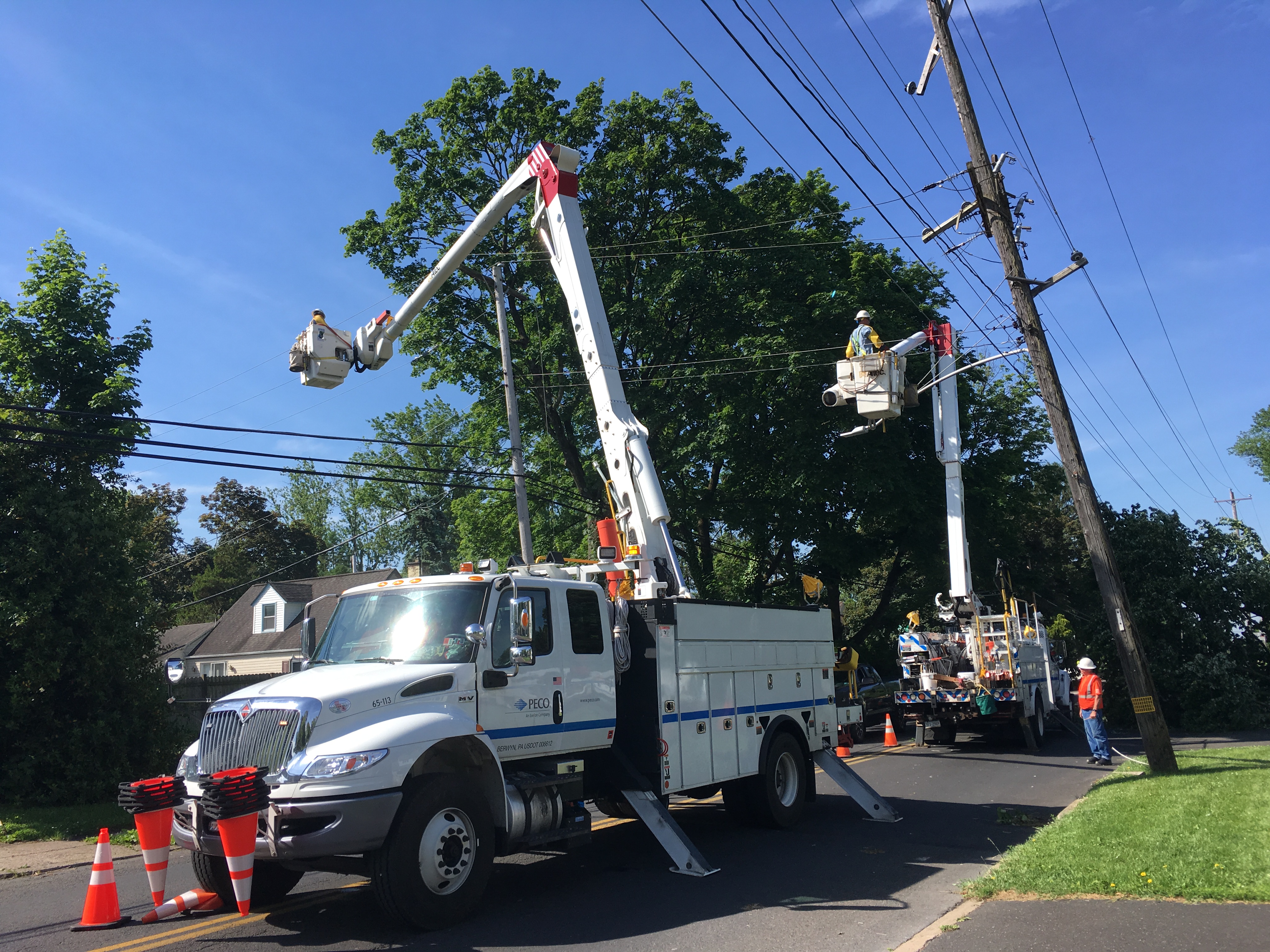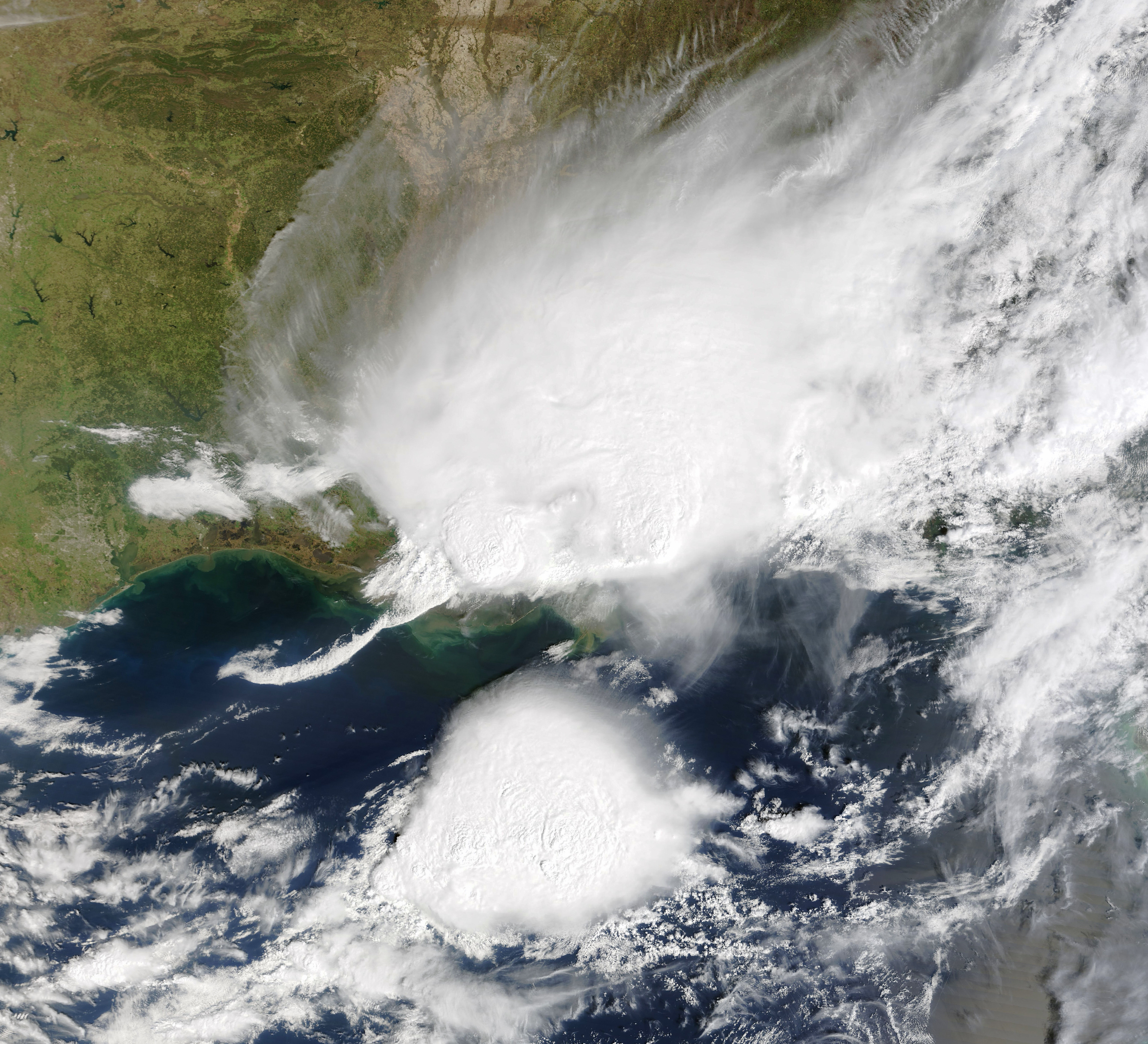
Severe thunderstorms with 70 mph wind gusts tore through Montgomery County on Thursday, Aug. 20, prompting a tornado watch, flash flood warnings and a severe thunderstorm warning that covered Whitemarsh, Plymouth and Whitpain townships.
The National Weather Service confirmed trained weather spotters observed 70 mph gusts as a line of storms moved east at 45 mph through the county around 5:53 p.m. The agency warned of considerable tree damage and likely damage to mobile homes, roofs and outbuildings, according to WDEL, which captured the live alerts for Montgomery, southwestern Bucks, eastern Chester, Philadelphia and Delaware counties.
A flash flood warning remained in effect until 9:45 p.m. for southeastern Montgomery County, with rainfall rates of 1.5 to 2.5 inches per hour. The NWS said flooding could affect small creeks and streams, highways, underpasses and low-lying areas. Tornado Watch 605 covered southeastern Pennsylvania, including Montgomery County, until 10 p.m.
The broader flood watch, in effect from noon through late Thursday night, warned that some areas could receive 3 to 5 inches of rain total. More than 32 million people along the I-95 corridor faced flash flood threats that day, according to the New York Post.
Weekend not over yet
The storms are gone, but the pattern isn't.
The NWS forecast for Plymouth Meeting, updated Friday morning, calls for showers likely and thunderstorms possible after 2 p.m. Saturday, with a high near 77°F and a 60% chance of precipitation. New rainfall of a quarter to half an inch is possible, with higher amounts in thunderstorms.
Sunday's outlook is drier, with a 30% chance of showers and thunderstorms after 2 p.m.
NWS forecasters said Thursday morning that conditions would remain unsettled through the weekend, with daily chances of showers and storms, as reported by The Times Herald. The agency noted a 5% tornado probability for southeastern Pennsylvania on Thursday, though the primary tornado threat was focused south of the PA Turnpike.
Local impact already visible
Spring Mill Fire Company No. 1 and Whitemarsh Township Parks & Recreation postponed their Sprinkler Night event to Thursday, Aug. 27 because of the forecasted weather.
The fire company knows what storms can do locally. In July 2024, back-to-back storm days in Whitemarsh sent Spring Mill crews to an electrical fire and two separate trees that fell into houses.
How to stay informed
Montgomery County's official emergency alert system, ReadyMontco, delivers severe weather warnings by text, email, phone call or push notification. Sign-up is free at readymontco.org. The county recommends downloading the Everbridge mobile app for push alerts, which can reach residents even when voice and text networks are congested.
Residents who encounter standing water on roads should turn around. The NWS says most flood deaths occur in vehicles.